Accurate, Efficient & Cost-Effective UAV Land Surveys...
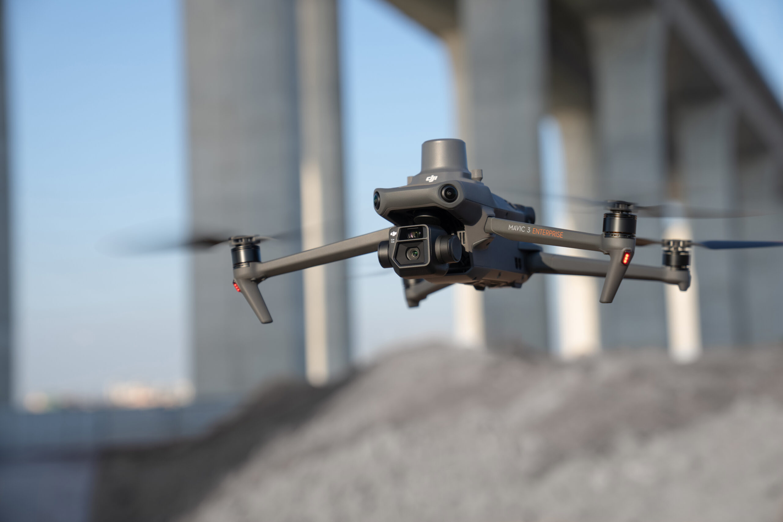
At Island Survey Systems, we provide specialist Drone Land Survey services across the South of England. Using the latest UAV (Unmanned Aerial Vehicle) technology, we deliver accurate, fast and cost-efficient Land Survey data – even across challenging terrain or large-scale environments.
Our drone-based land surveying solutions reduce time on-site, minimise disruption, and capture high-resolution aerial imagery and data to support planning, construction, and development projects.
What Is A Drone Land Survey?
A Drone Land Survey involves using a UAV to capture precise topographical data, which can be used to create Digital Terrain Models (DTMs), Digital Surface Models (DSMs), contours, and site layouts. This method is ideal for:
Construction & infrastructure planning
Development site assessments
Agricultural & environmental monitoring
Boundary Mapping & legal property surveys
Flood risk & drainage modelling
Benefits Of UAV Land Surveying
Rapid data collection
Reduced on-site time and disruption
Safer access to hard-to-reach or hazardous areas
High-accuracy outputs for planning and design
Lower surveying cost compared to traditional methods
Our experienced Land Surveyors and drone pilots work together to ensure your aerial survey meets the highest standards – from raw data capture through to professional outputs.
Areas We Cover For Drone Land Surveys
With offices based on the Isle of Wight and in Hampshire, we provide expert drone land survey services across a wide area of the South of England.
From our Isle of Wight branch, we cover the island in full, delivering reliable UAV and aerial surveying services for both residential and commercial projects.
Our Hampshire office serves a broad surrounding region, including Hampshire, Surrey, Kent, London, Sussex, Buckinghamshire, as well as Berkshire, Oxfordshire, Wiltshire, and Dorset.
If you’re unsure whether your location is covered, feel free to Contact Us — our team will be happy to assist and advise on your project requirements.
How Much Does A Drone Land Survey Cost?
Every project is different, and the cost of a drone land survey depends on factors like site size, terrain complexity, and required deliverables. We offer competitive pricing and tailored quotes for all projects — from small residential plots to large commercial or agricultural developments.
Request A Free Quote Today
At Island Survey Systems, we deliver fast, accurate and cost-effective UAV surveying solutions tailored to your project needs. To discuss your requirements or receive a personalised quote, Contact Island Survey Systems today.