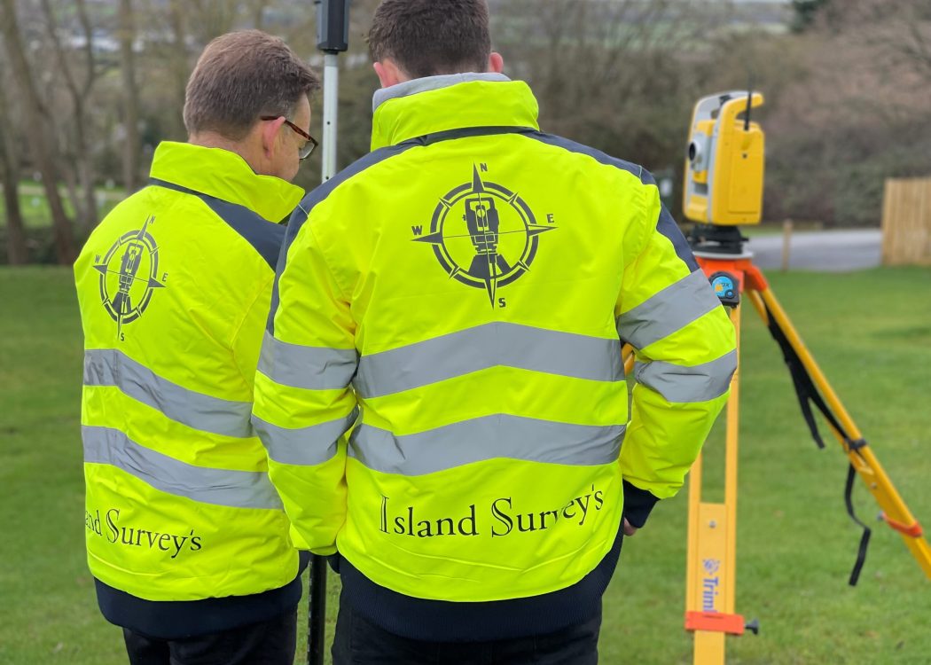
Welcome To Your Expert Land Surveyor In Surrey…
Are you embarking on a development project in Surrey and are in need of precise surveying services? Then, look no further! Island Survey Systems are your trusted partner for comprehensive surveying solutions tailored to your specific needs.
At Island Survey Systems, we understand the critical role that accurate surveying plays in the success of any project. That’s why we offer professional survey services in Surrey, ensuring that you have the precise data and insights necessary to make informed decisions at every stage of your project. Survey services we offer include:
- Land Surveys and Topographical Surveys
- Laser Scanning Services
- Measured Building Surveys
- UAV Surveys and Drone Inspection Imagery
- Boundary and Title Deed Surveys
- Floor-plan and Elevation Drawings.
Why Choose Island Survey Systems?

Topographic and Measured Surveys are considered the first step of a rigorous site investigation, providing a reference framework on which all subsequent investigation can be based. Our team at Island Survey Systems takes this foundational step seriously. We go beyond simply surveying the site in isolation; instead, our surveys are meticulously related to Ordnance Datum & National Grid co-ordinates, ensuring accuracy and consistency in all our measurements.
Unlike some other surveying companies, we take pride in the fact that our project surveyors personally gather and process the data from your site. This hands-on approach means that the individuals working on your project are intimately familiar with the specifics of your site, resulting in more accurate and reliable outcomes. We don’t outsource your project to a CAD department for editing; instead, our team handles every aspect of the process to maintain quality and precision.
Our Land Survey Services In Surrey
Island Survey Systems offers a comprehensive range of land survey services to meet the diverse needs of our clients in Surrey. Whether you’re undertaking a major utilities development, residential construction project, highway survey, or land undulation survey, we have the expertise and resources to support you every step of the way.
Our Land Survey Services Include:
Land & Topographic Surveys: Providing a detailed representation of the physical features and contours of your site, our topographic surveys serve as the foundation for informed decision-making and planning.
Laser Scanning Services: Laser scanning in surveying provides excellent data quality which can be used to produce extremely precise 3D models and 2D drawings. Including topographical surveys, floor plans, ceiling plans, elevation drawings and sections.
Measured Building Surveys: We use Trimble X7 laser scanners to collect dense and accurate data of the building, which we use to produce 2D Measured Survey Drawings (topographical surveys, floor plans, ceiling plans, elevation drawings and sections).
Boundary and Title Deed Surveys: We provide experienced boundary dispute resolutions and update your Title Deeds drawings. We can provide you with on-site assistance in meeting the requirements for registration following site visit. We then combine site evidence with any existing plans to create exact and clear deed plans for you and your neighbours’ future reference.
UAV Surveys & Drone Inspection Imagery: The introduction of drones into the surveying industry has greatly increased the ability to gather information and data that would otherwise inaccessible. At Island Survey Systems we provide 4K drone imagery and videos, which we use for inspections and to produce both 2D plans and 3D photogrammetry models. Applications of this can be for a number of reasons, most commonly; roof surveys, tall building surveys and topographic mapping.
Contact Island Survey Systems
Don’t let inaccurate or incomplete survey data hinder your project. Trust the experts at Island Survey Systems to provide you with the precise, reliable land survey services you need to succeed. Contact Island Survey Systems today to get a Free Quote or to discuss your project requirements with our experienced team. With Island Survey Systems, you can rest assured that your project is in the best hands.
